


Animated Global Digital Earth Map with Data Network Connections
By Grey_Coast_Media_CG- Length
- 0:15
- Resolution
- 3840 x 2160
- File Size
- 1.14 GB
- Frame Rate
- 30 fps
- Alpha Channel
- No
- Looped
- Yes
- Video Encoding
- ProRes
- Orientation
- Horizontal
- Commercial License
- Further Information
Description
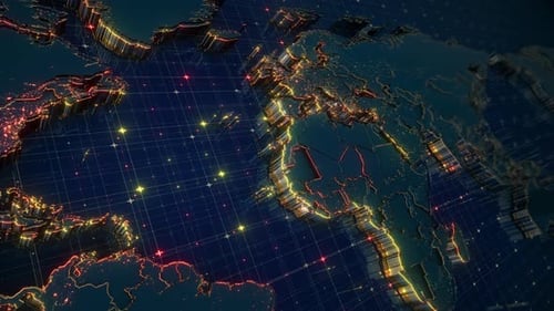
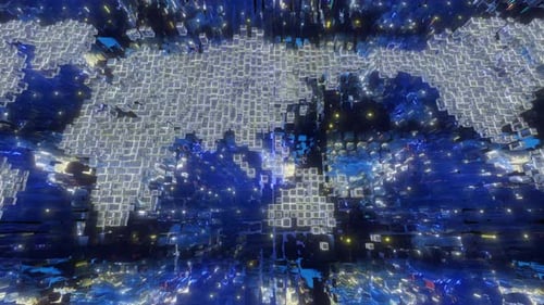
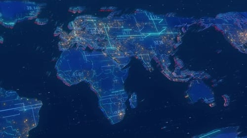
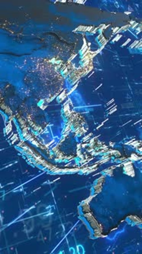
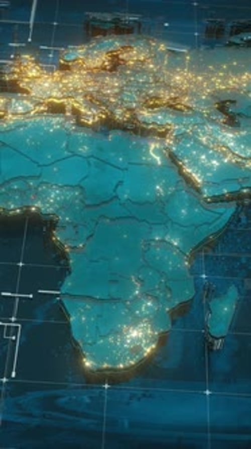
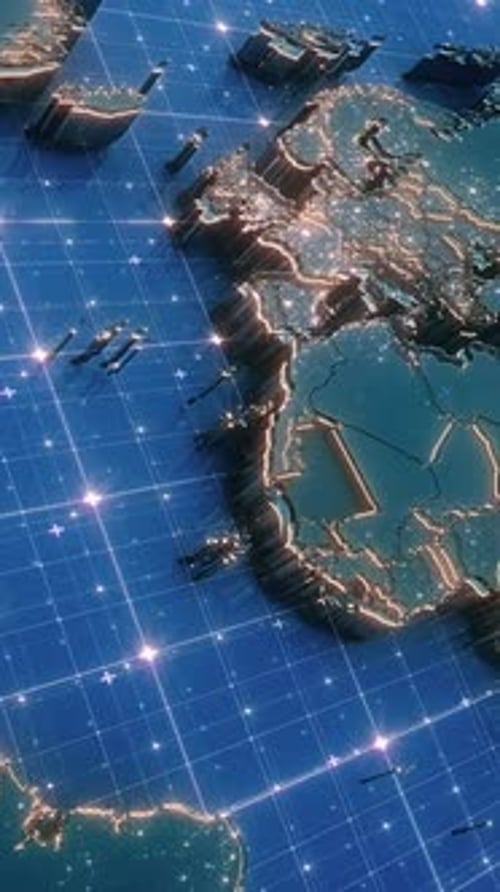
This animated clip features a sophisticated 3D digital Earth rotating seamlessly, showcasing continents with vibrant, glowing outlines and detailed relief. Clusters of bright, pulsating lights highlight urban areas or significant data points across the landmasses, suggesting global activity. A dynamic grid pattern overlays the oceans, filled with rapidly moving, illuminated particles that visualize vast data networks and interconnected communications. The dark blue and teal color palette, contrasted with energetic yellow and red glows, creates a modern, high-tech aesthetic. This visual effect is ideal for enhancing corporate presentations, technological explainers, news broadcasts, or any project emphasizing global reach, data exchange, and digital connectivity, providing a compelling and informative backdrop.


Animated Global Digital Earth Map with Data Network Connections by Grey_Coast_Media_CG