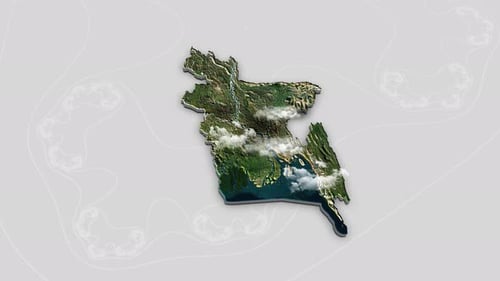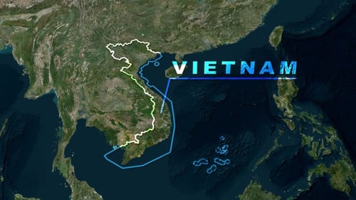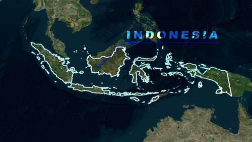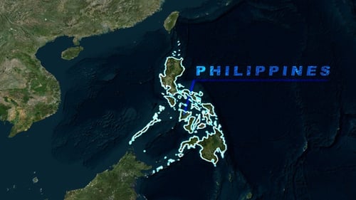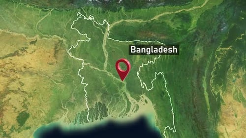


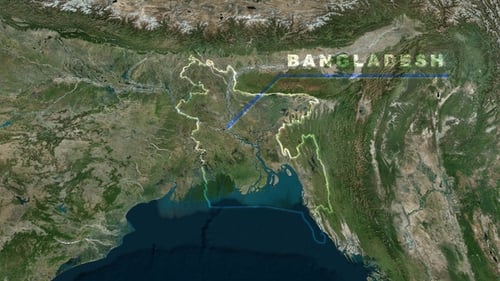
Satellite Map Zoom to Bangladesh with Country Name Reveal
By RevLine3DOne great value subscription from $16.50/month
- Unlimited downloads of 26+ million creative assets
- AI Tools: video, image and more
- Lifetime commercial license
- Easy cancellation
Attributes
- Length
- 0:10
- Resolution
- 3840 x 2160
- File Size
- 679 MB
- Frame Rate
- 30 fps
- Alpha Channel
- No
- Looped
- No
- Video Encoding
- ProRes
- Orientation
- Horizontal
- Commercial License
- Further Information
Description
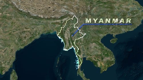
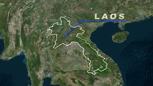
This animated visual provides a smooth, digital zoom-in from a wide satellite view of Earth to precisely focus on Bangladesh. The detailed satellite imagery transitions seamlessly as a glowing, dynamic outline meticulously traces the borders of the country. Subsequently, the name "BANGLADESH" emerges with a clean, animated line connecting it to the outlined nation. This polished and informative visual asset is perfect for geographical introductions, educational segments, news broadcasts, corporate presentations, or documentary projects that require a clear and engaging way to highlight a specific global location. It effectively grounds content by visually pinpointing a country within its regional and global context.